Showing posts with label Personal training warrington. Show all posts

Wednesday, 14 March 2012

Golite Rush 10L Pack

I stumbled across the 10L Rush pack by GOlite whilst trawling through the outdoor shops in Ambleside, with a very specific mental check list, on what I was looking for.


I wanted the pack for longer ultras and also long days during the winter where more layers would be required therefore more room to put them in than a waist pack. It had to meet the following criteria

  • Bottle holders, 1 on each side. I don't get on with hydration 'bladders' and the ones I have used were a pain to refill and clean, also if I wanted two different drinks then with one bladder this isn't possible. Bottles are easier and quicker to fill, convenient to see how much you are drinking or how much fluid you have left and have numerous other benefits to me.
  • Size up to about 12L, having a bigger pack would me to pack more gear than I actually need, I already have a 20 something litre Berghaus pack that I have had for years which is perfect for multi day but too big for a day out.
  • Waist straps with pockets. Having had these on a previous pack they were great, incredibly convenient for storing either small snacks between checkpoints or the camera and phone for a long training run along with a bit of money for example.
Typical gear you could fit in to the pack!

They were the main things I needed, some added bonuses of this pack are; 
  • An internal zip pocket to store something you need to keep easily accessible such as head torch or spare snacks. 
  • The 2 bottle pockets are made of a stretchy fabric that keeps them from bouncing out and they can therefore also accommodate something other than bottles too such as your gloves/head torch/whatever. Very easy to access these unlike other packs where you need the most flexible shoulder in the world to even consider getting a drink. 
  • There is a 3rd stretchy pocket in the centre at the back which is great for sliding a map into without crumpling it to death, or fit a small jacket. 
  • There is a sleeve in the back of the pack which would take a bladder if you are that way inclined. 
  • Fully adjustable straps including the height of the chest strap. You can even remove the waist strap and pockets if you wanted to. There is a strap that can compress the pack too if it is pretty empty, to prevent things flopping around inside.
  • Built in whistle on the chest strap, often in mandatory kit check list.
  • Elastic cord on the back, if the pack is full or perhaps for those good English days when the weather can't make its mind up, you can wrap your jacket onto the pack secured ready for quick access. 
  • Reflective bits, might save you from being squished if you venture onto the roads at night. 
Snug fit, easy access to the bottles


That is a summary of the features I have discovered so far. It is comfortable to wear for long sessions even with just a t shirt, haven't had any problems with it rubbing. The straps have lots of adjustability to keep it stable and secure. It's big enough for the likes of Lakeland 100 where you need to be prepared for varied weather and might even be out for 24 hours! 
The pack is lightweight although I don't tend to worry about shaving off a few grams here and there so I haven't actually weighed it. On the GOlite website its 450g http://www.golite.com/Rush-10L-Pack-Unisex-P46809.aspx
There is a drain hole at the bottom of the pack (you could just about fit a headphone cable through it, and to test it I decided to cross some water, I had my gear in the pack inside one of the waterproof 'fold over and buckle' type dry bags and that remained dry and sure enough the water came out of the pack, I had never really needed to worry about that in any of the races I have done with it although the likes of some adventure races maybe it would be more of a benefit?

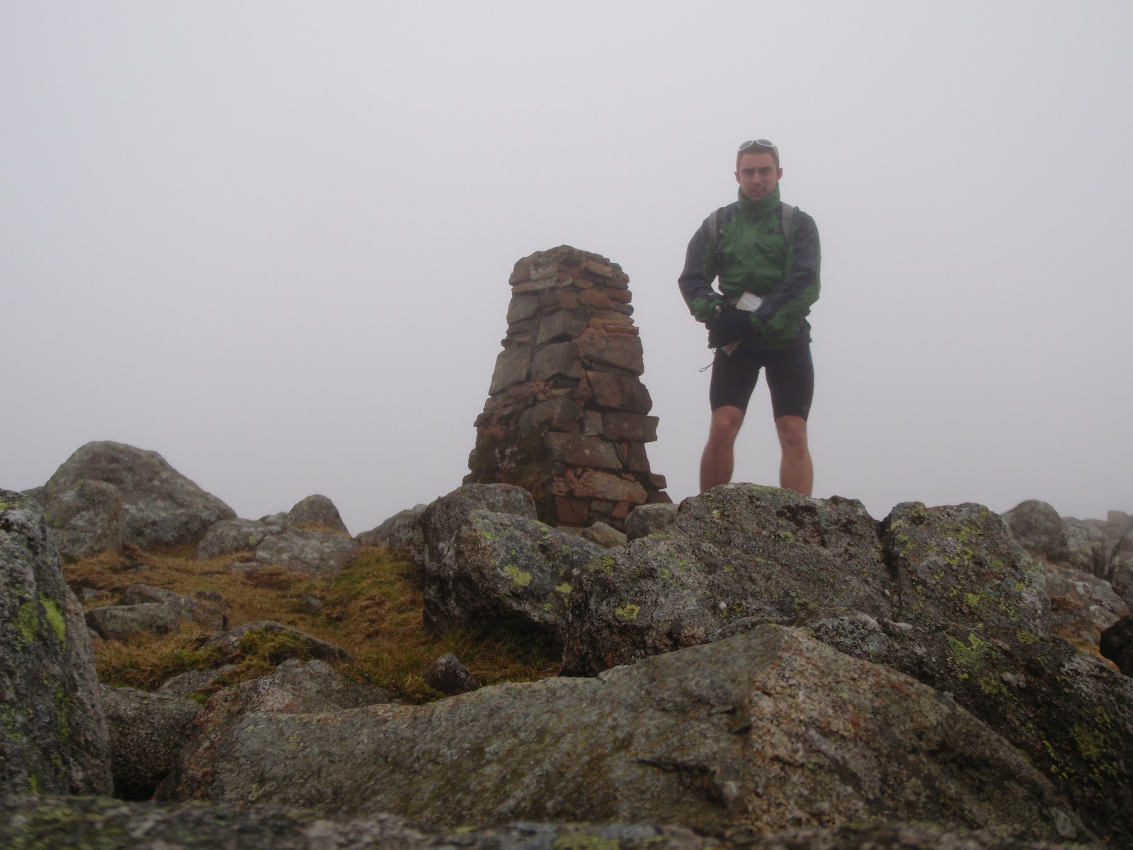
A typical day out, the pack in action!
The pack is pretty sturdy so far after 6 months and  has a good quality, solid build, as I've been scraping past rocks and sliding on my back down snow covered slopes along with a few odd scuffles here and there the pack is showing no signs of wear, although perhaps due for a wash!

I paid about £30 for it and it was the only pack I could find that met all my 'wants and needs'  I would definitely recommend you check it out or perhaps even some of the other packs in the range, if you are looking for a new one! I'd say it would be ideal for something like the lakeland 100 or an all day outing but I would be seriously impressed if anyone used it for a multi day event being only   12 litres!

Any questions or if there is anything I might have missed off feel free to drop a comment!


Tuesday, 28 February 2012

A quick assault on the Lake District 26 FEB

What better way to spend your Sunday morning than wolfing down a smoothie and popping up to the Lake District?! I arrived around 8am planning to do either option 1 a long section of the Lakeland 100mile race by getting a bus from Ambleside to Keswick and running back OR option 2 a bit of a BGR style recce. I arrived and noticed I had forgot to pack my compass so I parked up and searched pretty much every shop that was open at 8.30 on a Sunday morning, for a compass to no avail. I got a bit of food then noticed some of the staff in the shop below the climbing wall just arriving so I managed to get one from them before they opened properly! Thanks Guys! After that a quick feed and grabbed a bit more lunch to take with me and I headed over to Langdale opting for option 2 as I had now missed the bus to get to Keswick. 


Weather was reasonable in the valley but cloudy over the peaks. I hiked up to Stickle Tarn pretty rapidly passing a few groups of walkers and followed the tarn around to take a direct line up Sergeant Man, now in the clouds. Ground was quite wet with a few pockets of snow around. From here I followed a bearing for a small tarn not far from the top of High Raise, and then from there to the trig point on High Raise for a quick photo and to put my jacket on. From here the weather became more cloudy and some light rain, pretty windy in places but not too bad until it got dark. 
High Raise, the best weather I had really.


After HR I headed in the direction of Thunacar Knot on to Harrison Stickle before wolfing down a bit more food and a 9 bar and heading on to Pike of Stickle. I dashed across Martcrag Moor which was quite enjoyable long gradual descent with a few bogs and things to bounce through.After this I went around onto Rosset Pike enjoying some rock hopping on route. 


Tombstone like rock nr Rosset Pike
From there a quick trip around Angle Tarn and up to Ore Gap where I intended to divert to Bow Fell although I changed my mind and decided to leave it for the way home! Quite high up there was the occasional bit of snow around between Great End, Ill Crag, Broad Crag and the Scafells. A group of walkers were taking a direct route following the cairned path to Scafell Pike and I could here them talking somewhere within the blanket of cloud each time I diverted off to a peak they would pass, then as I headed for the next peak I would pass them, continuing in this fashion until somewhere before Scafell Pike. After Scafell pike I planned to head down in the direction of Wasdale then cut back up a steep line to Scafell. On descending a couple called me, I just managed to stop before them after a reasonably quick descent.
'Which way is down?' He asked.... It was clearly the opposite way to where they were going as they were pushing uphill.
Where are you going? I asked
'To the bottom, where the car park is, next to THE lake!'
I'm not being funny, but there are a lot of lakes being the Lake District do you know the name of it? I don't want to send you the wrong way!
After a look on his printed out map we figured it out and they carried on to 'the top' presumably Scafell Pike. Not very easy to find in cloud with no propper map or compass, always worth having one even on a clear day and knowing how to use it, just in case!

I headed down towards Wasdale to the wall that crosses the path near Lingmell Gill before cutting around Scafell heading southwards and then taking a pretty direct line upto Scafell. Didn't hang around too long as time was getting on I moved on to Foxes Tarn and followed the valley down with a good pace to the river Esk. My route took me up towards Esk Hause and it began to get dark pretty quick so out came the head torch. I headed back over Esk Pike towards Bowfell with the conditions worsening the wind was quite strong and although I was dry beneath my jacket, the weather wasn't getting any more pleasant! I decided to cut off and head down into the valley where conditions wouldn't be as bad and there was an easy trail to get back to Langdale as it was getting late and I had to be working at 6.30. Onto the Cumbria way which could accommodate a car I picked up a good pace and followed it all the way past the Old Dungeon Ghyll pub and back to my car. 

Before it got dark, looking towards river Esk


Totalled 2700m elevation, 40km and a good day out. Legs not really feeling any aches although I wasn't pushing the pace particularly hard. Good nav practice!
Pretty much best view all day!


Langdale, Stickle Tarn, Sergeant Man, High Raise, Thunacar Knot, Harrison Stickle, Pike of Stickle, Martcrag Moor, Buck Pike, Rosset Pike, Esk Pike, Great End, Ill Crag, Broad Crag, Scafell Pike, Scafell, Esk Hause, Angle Tarn, Langdale!